Showing posts with label Oklahoma. Show all posts

Saturday, November 2, 2013

Outrunning bad weather, we ended up here

We fled Oklahoma like insects fleeing pesticides. Seriously, we were in Woodward, OK on Monday and it was becoming the focal point for the "major thunderstorm" moving up through the Heartland...so we did our best imitation of Canadian geese and drove like the wind south, down Hwy 34. We just didn't want to be caught in the thunder/wind/lightning/hail spectacular that arrived, apparently on Wednesday last week.

Destination: Copper Breaks State Park, outside Quanah, TX

So, as with NE and KS, we caught the narrowest 2 lane road available and drove through some pretty amazing small towns. Small like Sharon, so small I apparently did not see it as we drove through it, (pop.138*) and Vici, (pop. 699*, the Vici City Hall - circa 1939)


and Carmargo (pop. 178* )


Many of these towns are a mere 20+ miles or so between one another and are surrounded by cattle and farming ranches.
Elk City (pop. 11700*) intersects the old Route 66

Continuing down Hwy 34 to Mangum, a stopping point on one of the cattle- drive trails from Texas through OK to Abilene, KS. The photo below depicts cattle-drive life and is titled 'Up the Trail'.
 Mangum is a good sized town...(pop. approx. 3100*  and Margaret Avery, nominated for her role in The Color Purple was born here.) The mural below was on a business we passed leaving town.

We stopped in Carter (pop. 256*) for lunch....next to the town's cotton gin (which is now someone's residence) and the cotton co-op, where the photo below displays a bale of cotton and the reflection of our rig.)


We left Hwy 34 - at it's end and got onto Hwy 6 near Eldorado (pop. 446*), for the last 20 miles of Oklahoma and crossed over near the town of Quanah. Hello! Texas!

Roughly 20 miles inside the border is Copper Breaks...a lovely, quiet state park with electric/water sites, separate dry camping sites available and a equestrian area...after all it is Texas.

We were greeted by this rather impressive example of a Texas longhorn...our first sighting. I had to wonder about the stability of that rather flimsy looking fence...but so far, as of Monday when we arrived, it is the only day we have seen the herd.

The park office has a museum on site and offers a nice selection of artifacts and local area information. When available they sell "Stink Bait" - and yes I had to ask....it's a gop of goo that smells. Apparently the fish "adore" it.
This restored 'chuck wagon' is featured, as is quite a bit of the local Comanche history, given Quanah Parker was the last Chief and the town's namesake. His mother, Cynthia Ann Parker, at age 6, was kidnapped by the Comanche's, raised as one of their own and married within the tribe. My next post will be on Quanah...both the town and the Native American.

This is Big Pond, which when the water level is higher, feeds Lake Copper Breaks. Currently, due to the 3 year drought, water restrictions are in place for Quanah, Crowell and the surrounding areas.

Each camping site has a tepee shelter, with table and lantern hook. This one is closed as it appears Thor got mad and sent down a lightning bolt at some point in the not too distant past.

We are not using ours...for it is inhabited by a family of bats - really, just rodents with wings (eeuuuwww) and a village of wasp nests. So we are being good neighbors and giving them a respectful space in which to enjoy their living quarters.


I must say the night sky here is...in a word - AMAZING! No business/street/housing lights = dark, very dark night skies. We were able to photograph Venus 2 nights ago...also, the Milky Way is so close I feel as though I could reach out and touch it.

Next up....Quanah. In the meantime, thank you for reading my post...I hope you enjoy our travels as much as we do.

~ Ciao

NOTE: * denotes population number during 2010 US census.


Thursday, October 24, 2013

Toto - (aka Lucy) we are not in Kansas anymore....

 
An oil rig...

just one of hundreds  that we saw  traveling through Kansas and the
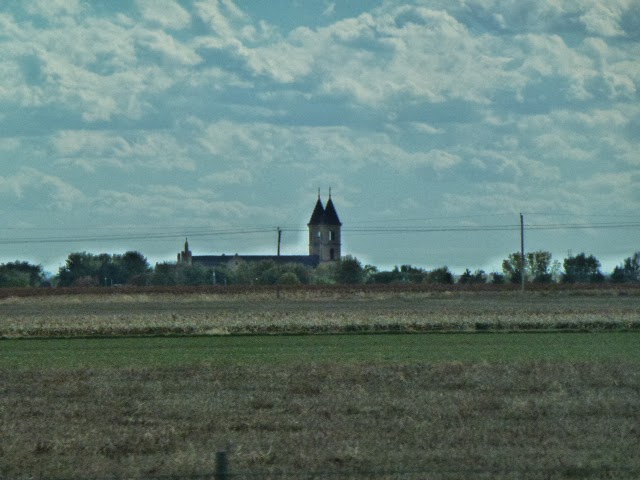
Cathedral of the Plains (below) is in Victoria, KS and can be seen from I-70...the towers stand 141' so we noticed it from a distance, just before we left the interstate for the night in Russell. 
 
 
We hit the road yesterday morning in Russell, KS and even though it was 10am, with the temperature @ 40 & rising, we still needed coats for the wind that was  blowing.  Our heading - Boiling Springs State Park outside Woodward, OK…for rest and relaxation. 
 
We have taken to  driving the back roads, those 2 lane connectors between small towns like Hosington (pop. 2700, Hosington is located in the middle of Kansas at the junction of Kansas Highway 4 and United States Highway 281 and sits directly on the National Wetlands and Wildlife Scenic Byway), Larned (pop. 4600, Fort Larned, one of the best preserved Pony Express era military forts in the country); to Pawnee Rock (pop. 252)…that’s right, 252 – a state park is located there.  We also drove through the thriving city of Great Bend (pop 16,000)…named for the bend in the Arkansas River, which has all the usual fast food joints one finds in large cities.  Did not see a Starbucks, but there was a Mickey D’s, Pizza Hut, Sonic and the assorted other bistros….not to worry I am still on the hunt for the weird and unusual named establishments. And I found one in Phillipsburg, Kansas...The Chubby Pickle - need I say more? They sell, erm, wait for it......
 

hamburgers - was there ever a question.
 
A theme appears to run through Kansas towns…banner flags hanging from lamp poles. Each town proudly sharing either the local high school mascot, the year it was founded, or as in the case of Kinsey - which informs you that they are exactly...
 

half-way between NYC and SF.  The other similar note worth mentioning, although not limited to KS, is the once grand old theatres that are now shuttered or only open on weekends…such a sad commentary of our times. Phillipsburg, KS isn't one of them by the looks of their Majestic.
 I’ve been googling (isn’t technology grand when it’ convenient and useful), these small towns just prior to arriving to get a better sense of the demographics and for background.  An example: yesterday as we drove through northern Kansas we couldn’t ID the crop that seemed to be the major farm crop.

So I googled and discovered it’s sorghum.  Sorghum grass fields dot the landscape of Kansas...and many of the fields have oil rigs. (We were amazed to learn of the many uses for sorghum, besides as the flour I use for baking.) Used as Butyl Alcohol in industrial applications and as a diesel fuel additive.
 Coldwater, KS, (pop. 836), county seat and Lake Coldwater is the only city, county, or state lake in southwest Kansas that permits water-related sports. While we didn't stay long enough to use our kayaks, we did spend about an hour walking around the town.

The building, in the photo above,  was the first one we saw when we pulled into town. We could only guess....a hotel in it's hey-day?, a bank?, now it's a coin laundry and apartments...we decided it was a hotel - given the baloney.


A couple of original buildings...above the local newspaper and I have no idea what the building below was originally, it is now the county museum.

Coldwater was approximately 20 miles from where we are parked in the Boiling Springs State Park...

which will be most likely highlighted in my next installment. In the meantime, let me leave you with a short video of the deer, arrived at dusk, eating apple we tossed out to them...there were about 6. We hope to feed them every night we are here.


Until then~Ciao